Log in
All resources
Create a design
33,111 Free Images of Composite Map
maps
cartography
engraving
grabados
cartografía
cartografía, mapas | cartography, maps
fondo antiguo
calcografía
chalcography
city
cartography
maps
maps
city
maps
city
maps
city
travel
maps
travel
maps
travel
maps
travel
maps
travel
maps
travel
maps
travel
maps
travel
maps
travel
maps
travel
maps
maps
city
maps
city
maps
city
maps
city
maps
city
maps
city
maps
city
maps
city
maps
city
maps
city
maps
city
maps
city
maps
city
maps
city
maps
city
maps
city
maps
city
maps
city
travel
maps
travel
maps
travel
maps
travel
maps
travel
maps
travel
maps
travel
maps
travel
maps
travel
maps
maps
city
maps
city
maps
city
maps
city
maps
city
maps
city
maps
city
maps
city
maps
city
cartography
maps
cartography
maps
africa
maps
africa
maps
cartography
maps
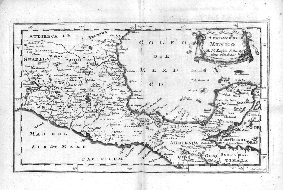
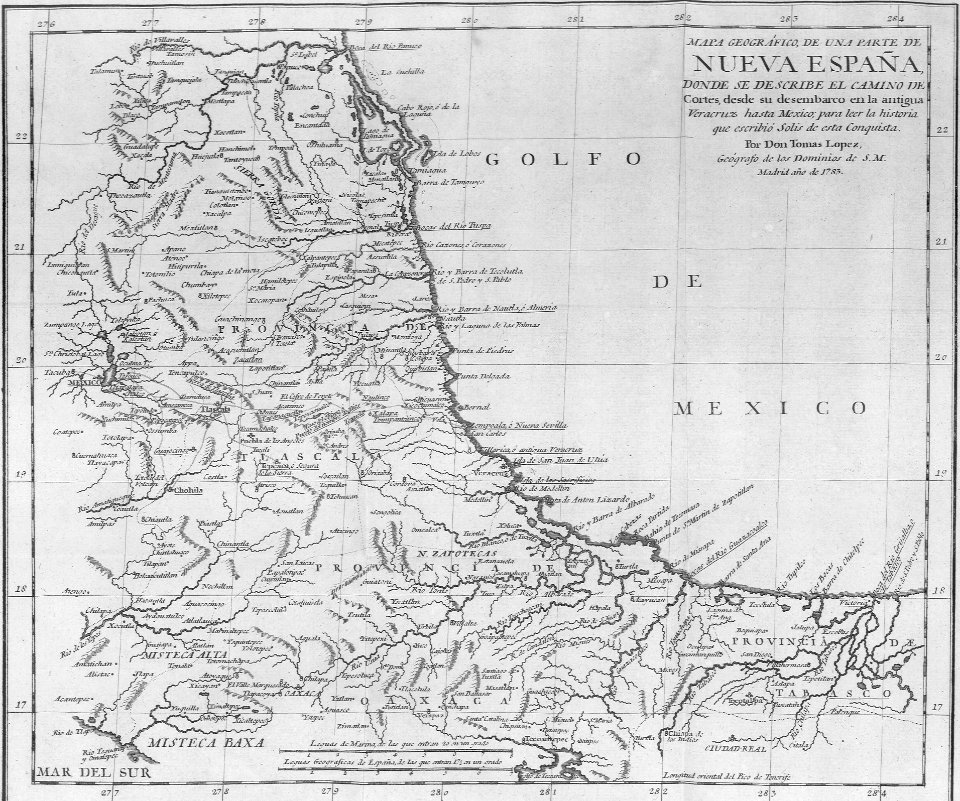
mexico
maps
cartography
maps
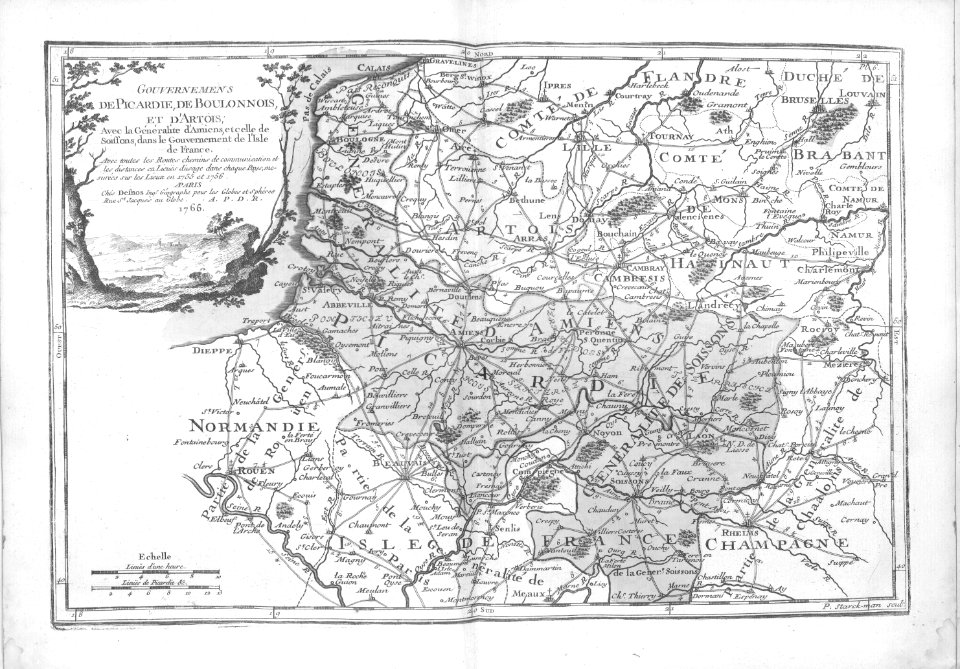
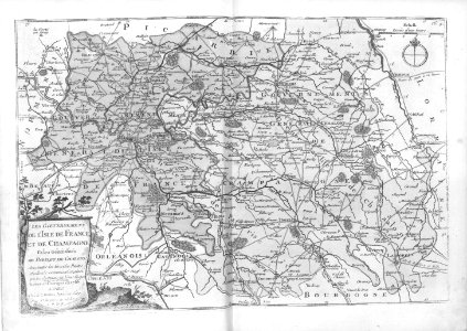
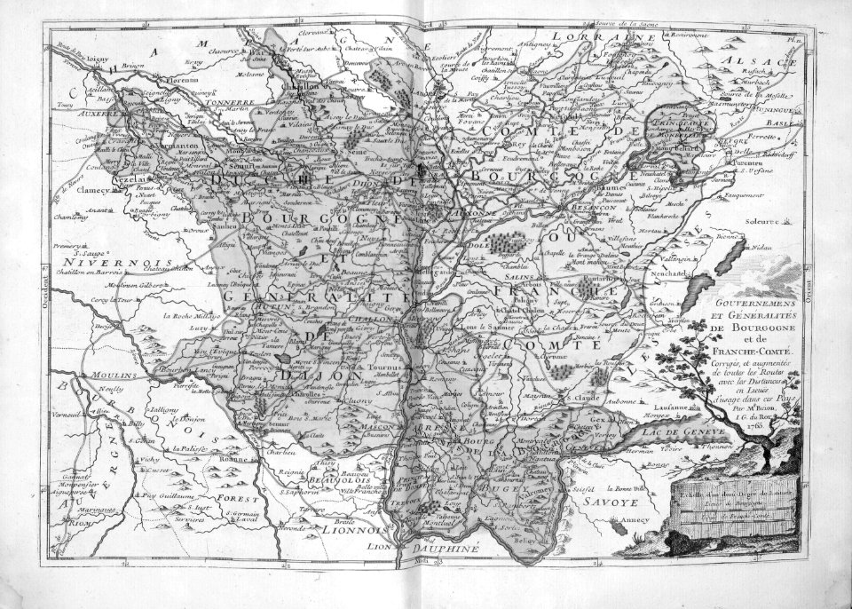
champagne
maps
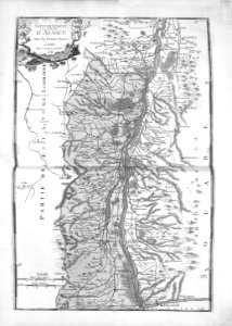
cartography
maps
cartography
maps
cartography
maps
cartography
maps
cartography
maps
cartography
maps
cartography
maps
cartography
maps
cartography
maps
cartography
maps
cartography
maps
cartography
maps
cartography
maps
cartography
maps
maps from the mechanical curator collection
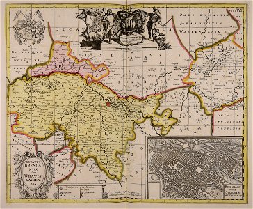
old maps of prussia
maps by willem and johannes blaeu
ravelins
cornell university library
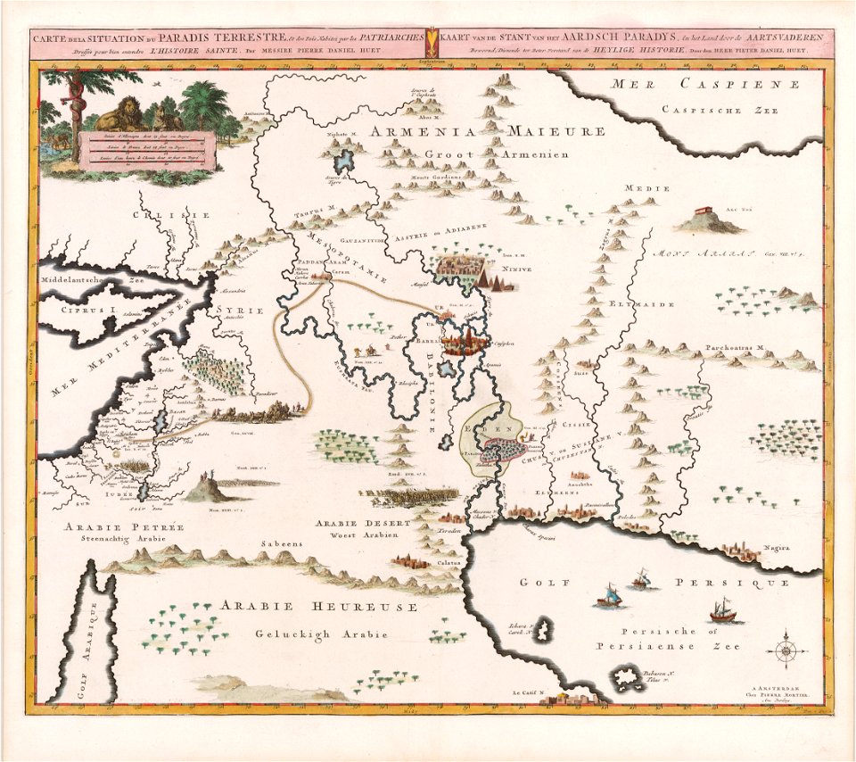
garden of eden
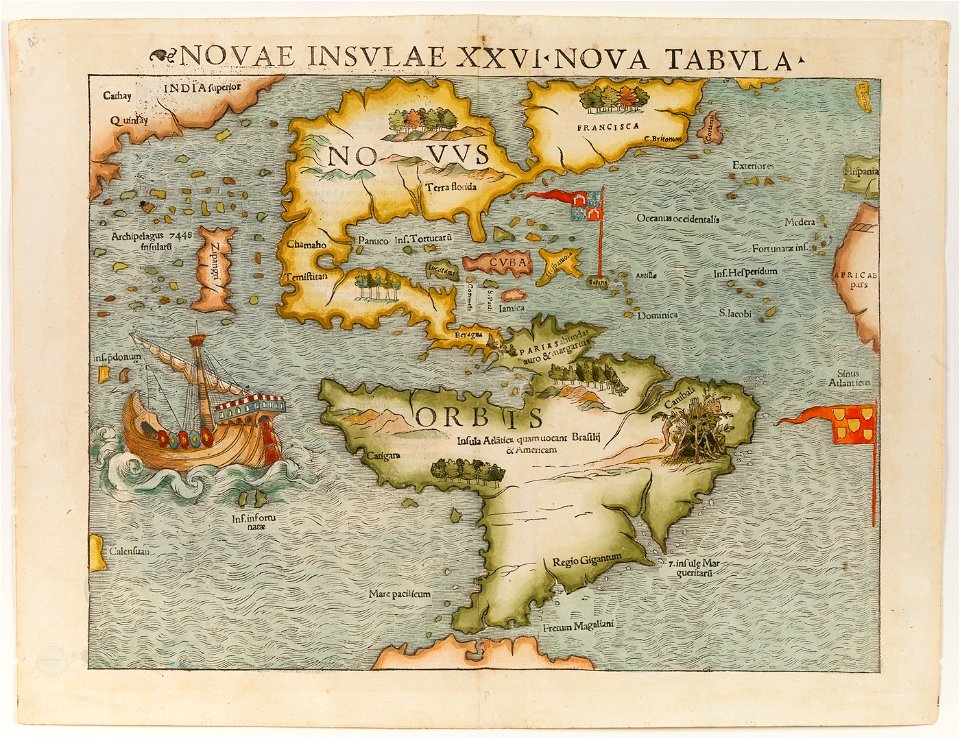
christopher columbus
ferdinand magellan
frédéric-auguste laguillermie
coats of arms of orléans
maps made in the 17th century
gerard valck
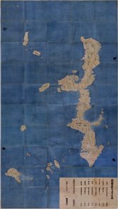
maps in the national archives of japan
genroku kuniezu
coats of arms of cities in corrèze
guillaume marie-anne brune
frédéric-auguste laguillermie
françois arago
maps made in the 17th century
gerard valck
maps made in the 17th century
gerard valck
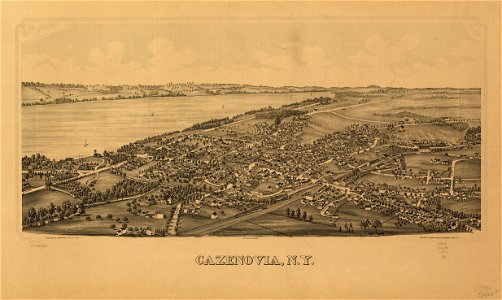
cazenovia
new york
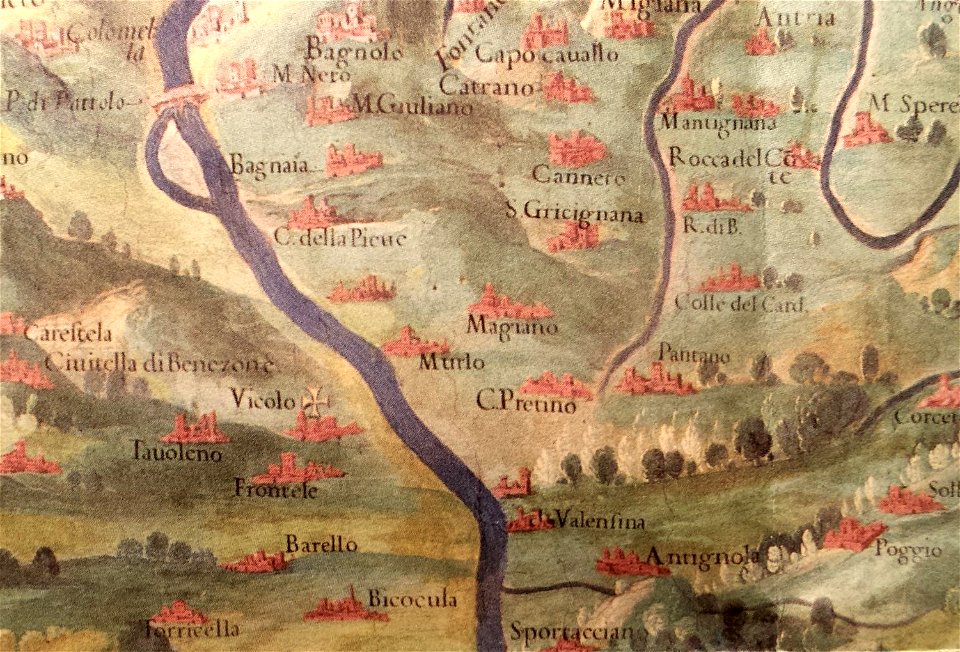
history of perugia
old maps of umbria
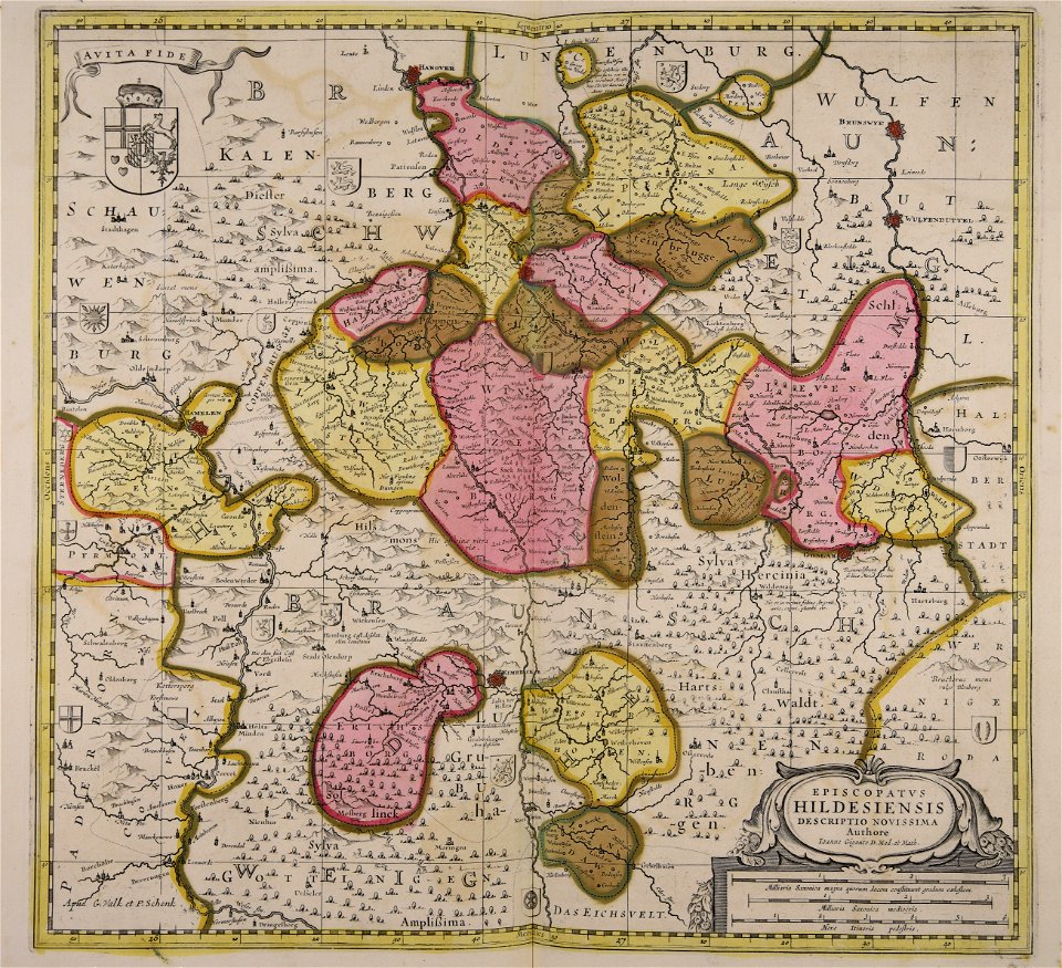
maps made in the 17th century
gerard valck
maps made in the 17th century
gerard valck
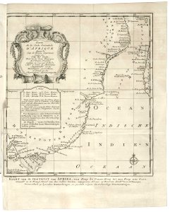
old maps of the dutch east india company - africa
1747)
prints from dankaerts historis at the peace palace library
cornelis danckerts (i)
maps made in the 17th century
gerard valck
maps by willem and johannes blaeu
maps made in the 17th century
maps made in the 17th century
gerard valck
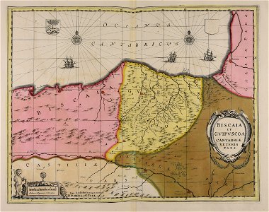
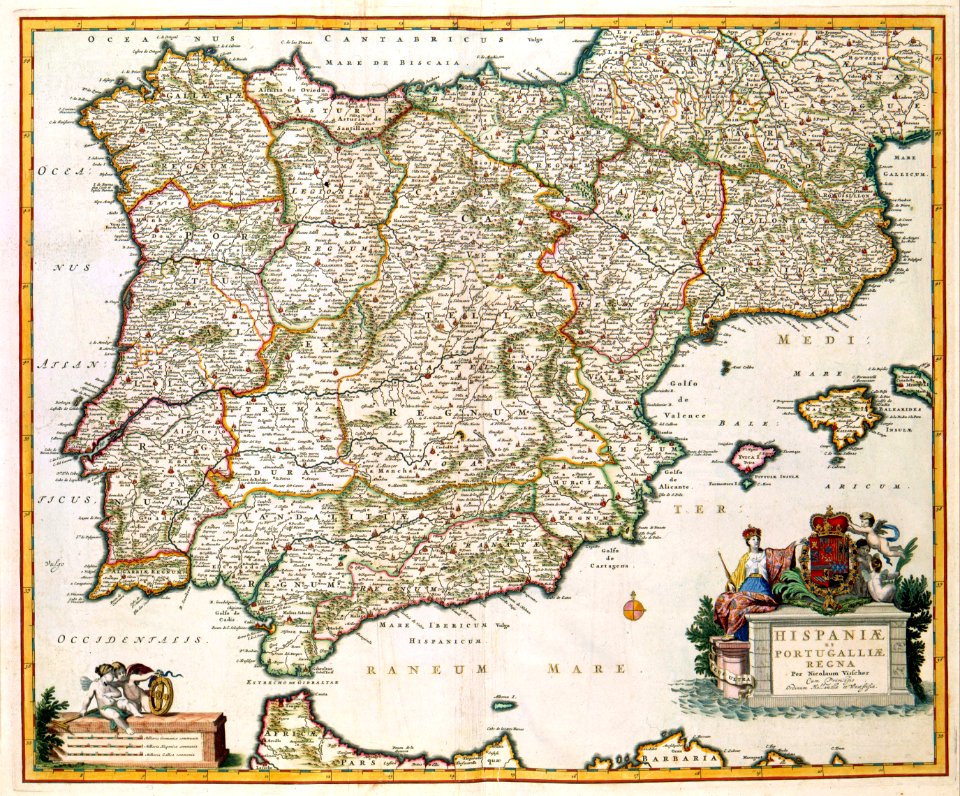
maps with cartouches
netherlands
old maps of the iberian peninsula
nicolaes visscher ii
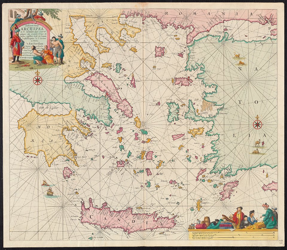
maps of the sea of marmara
old maps of the aegean sea
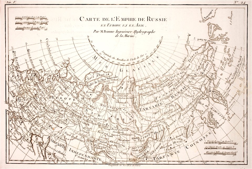
1780 maps of russia
bonne projection
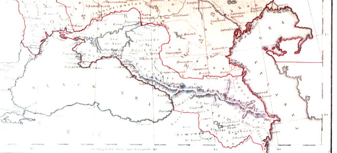
19th-century maps of the caucasus
1856 maps
maps made in the 17th century
gerard valck
maps made in the 17th century
maps by nicolaes visscher i
maps made in the 17th century
gerard valck
8301 - 8400 of 33,111
Next page
/ 332